BRIEF
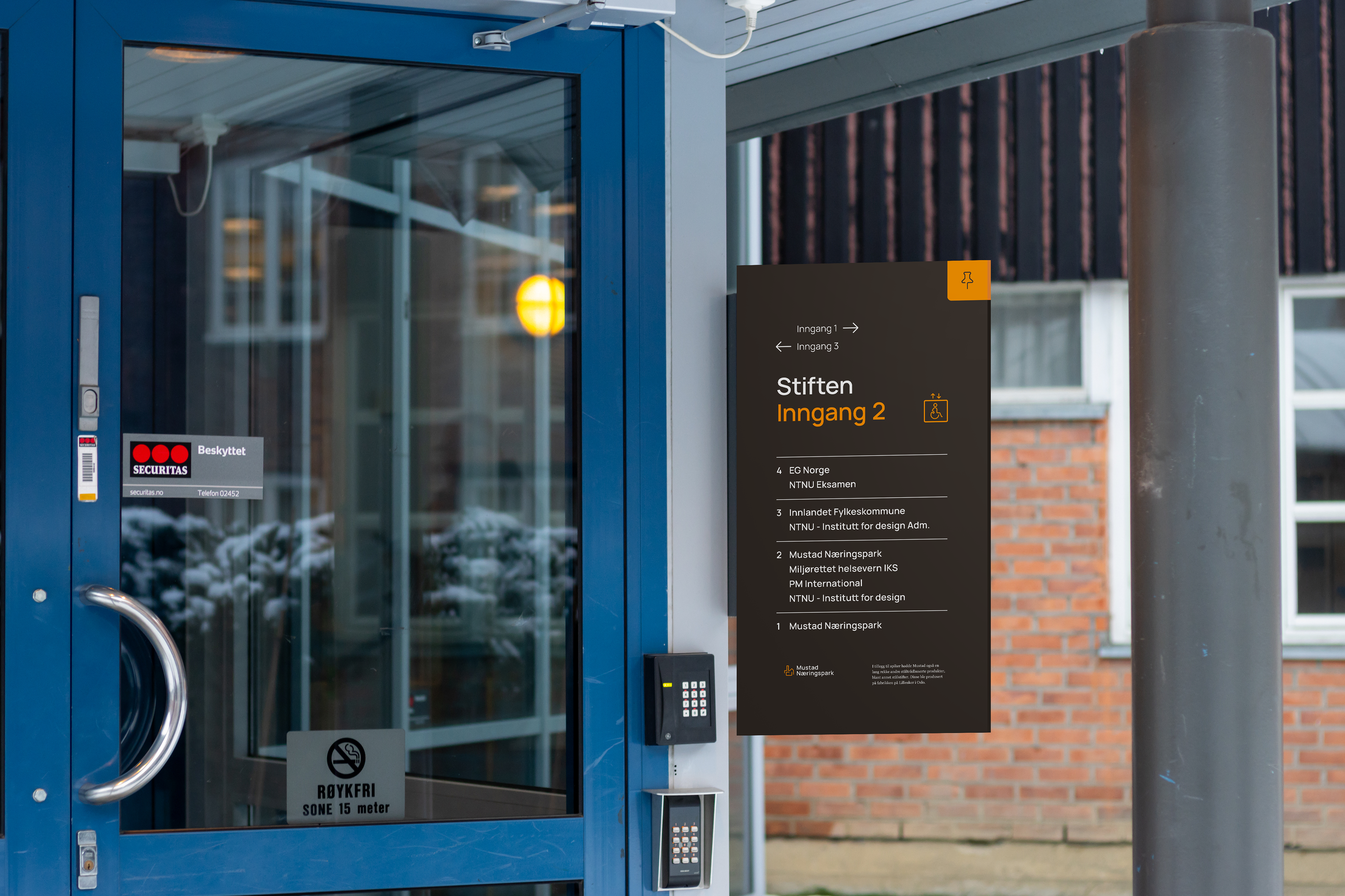
For this project, we were asked to design a new wayfinding system for a geographical area of our choice. We gained insight through interviews, physical walkthroughs, user observations and desktop research. Based on this, we developed a concept based on historical relevance, user activity and geographical location.
ICONOGRAPHY
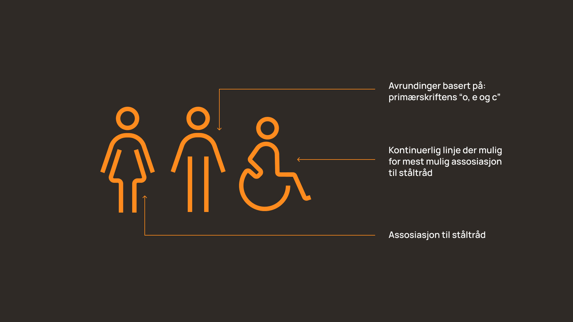
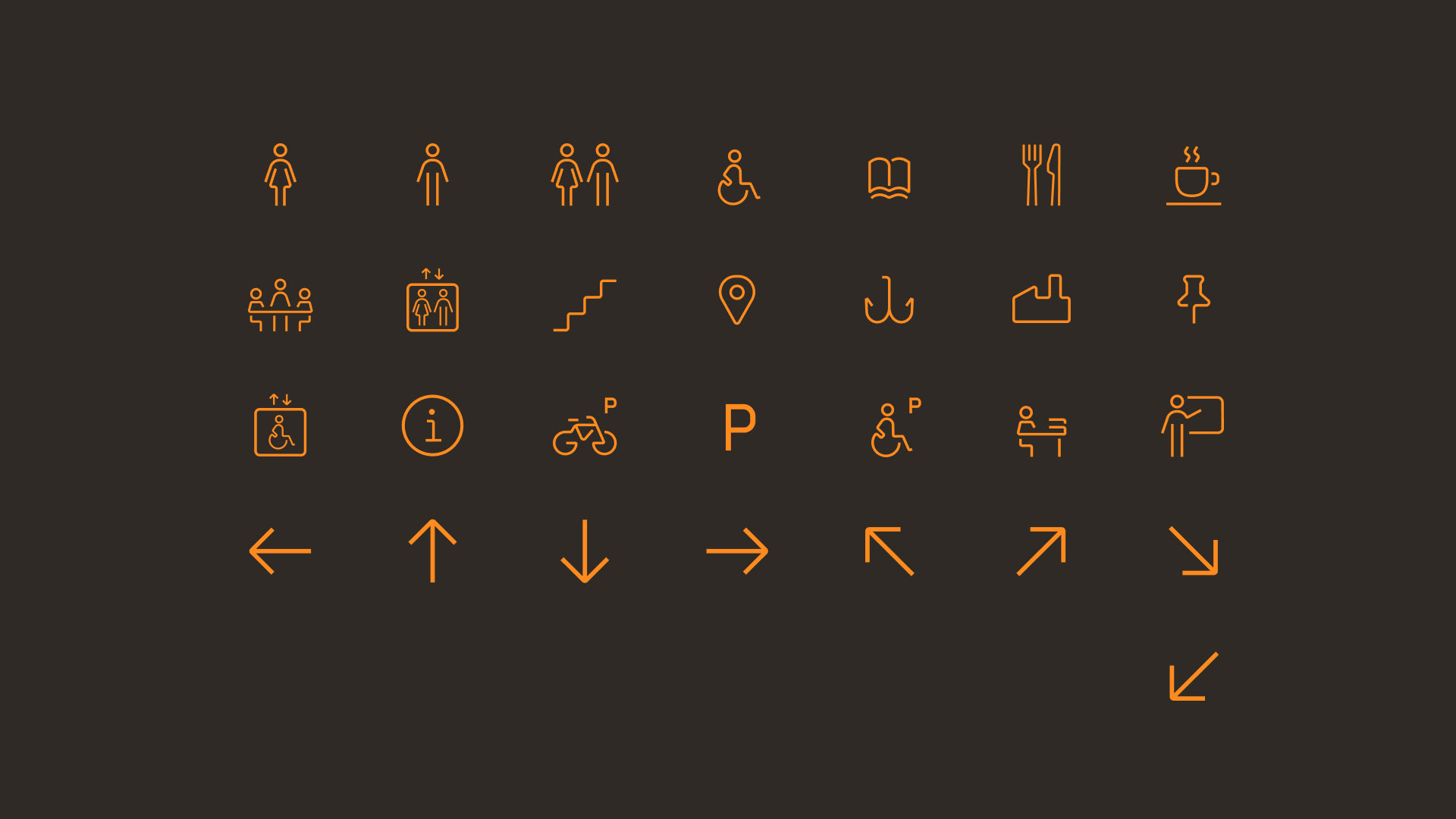
The iconography we developed for Mustad Næringspark is based on steel wire and the shapes that are created when bending and cutting it. We chose to take inspiration from steel wire as this is something that has been manufactured at Mustad Næringspark since its start, and it is widely used in many of the products manufactured here.
BUILDING NAMES
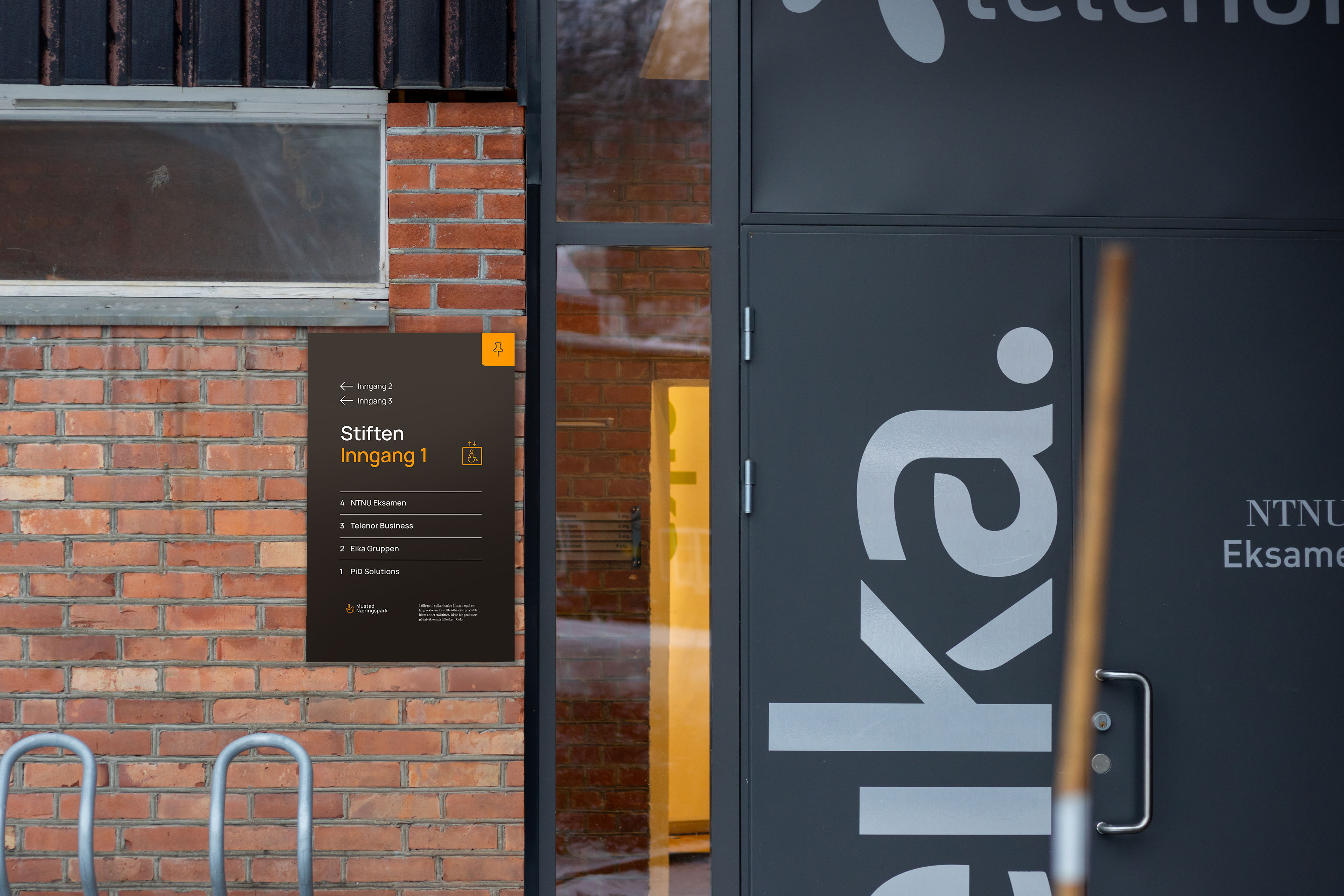
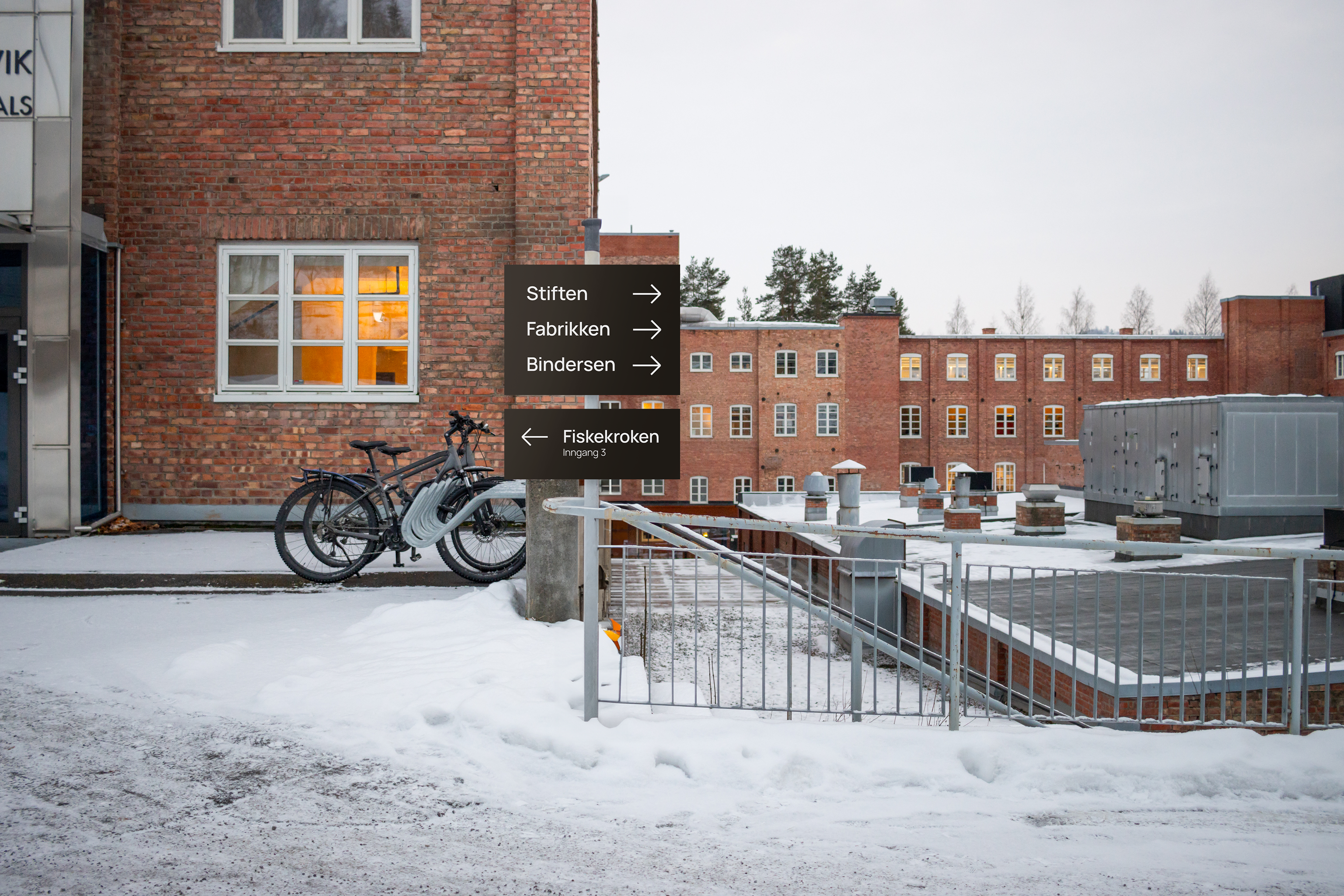
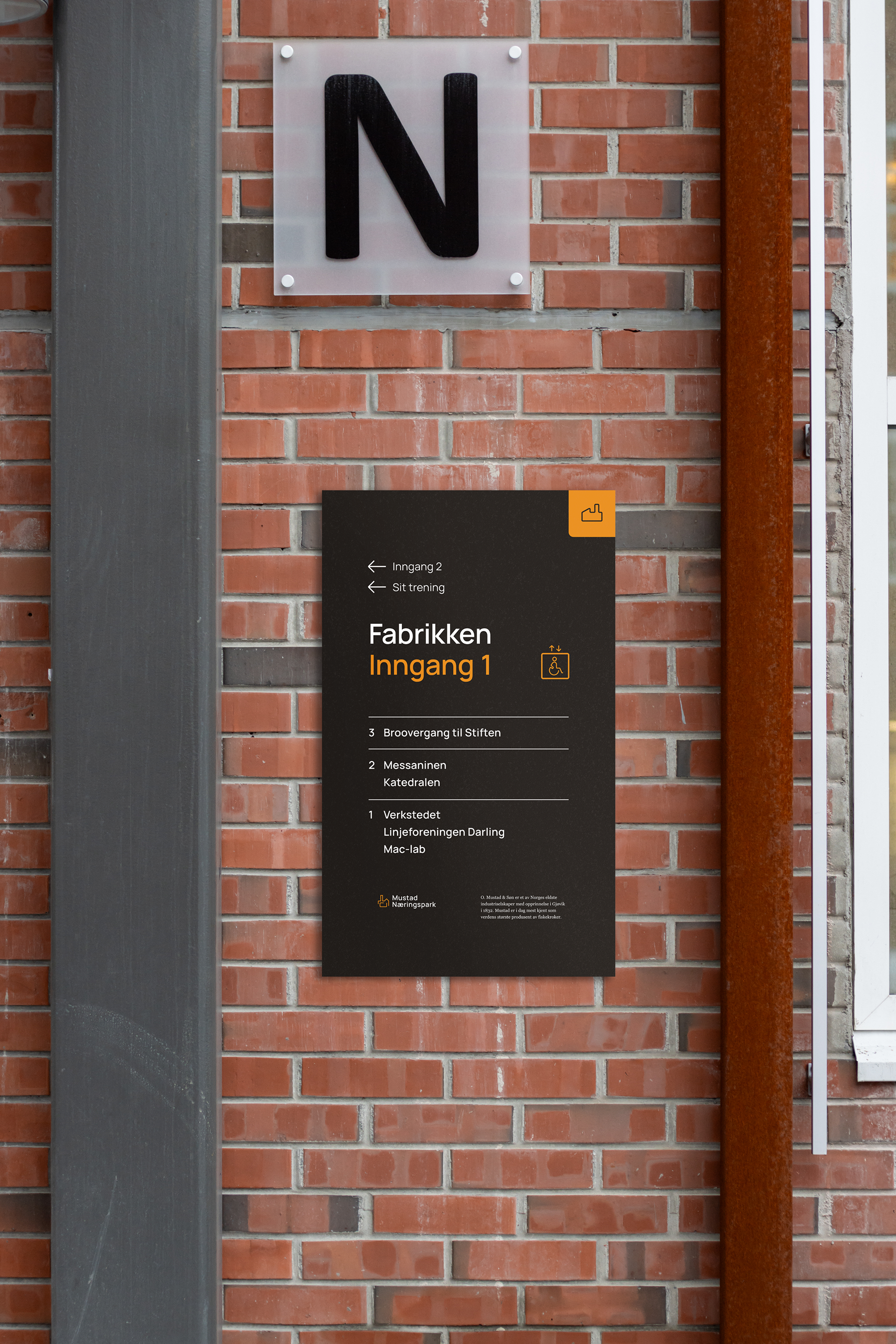
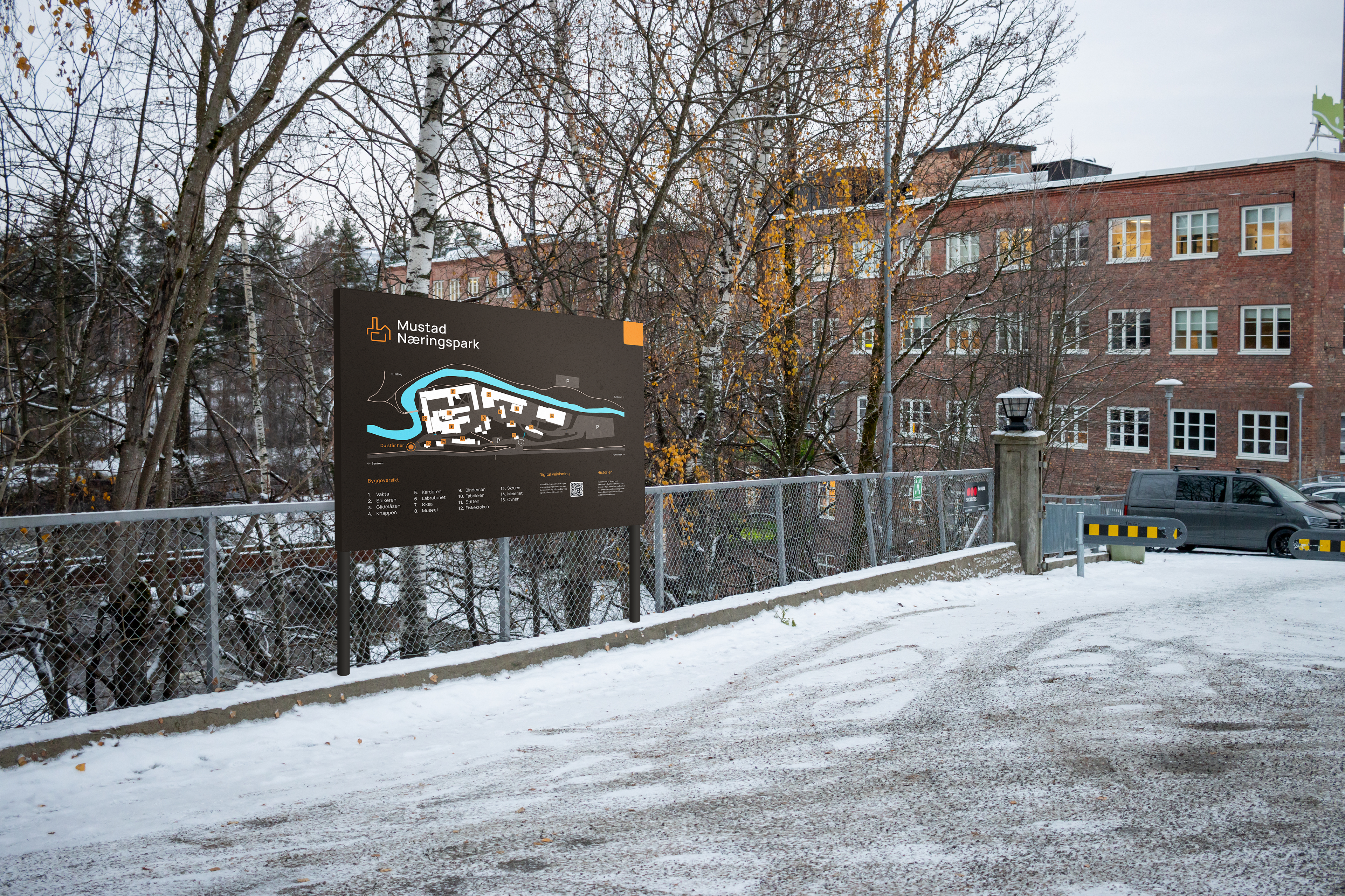
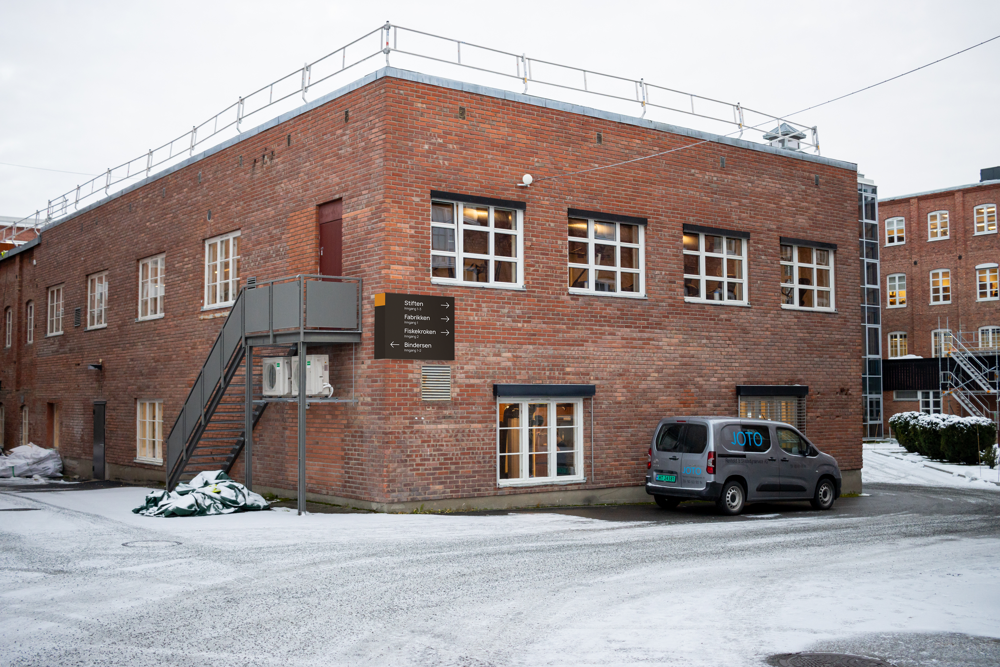
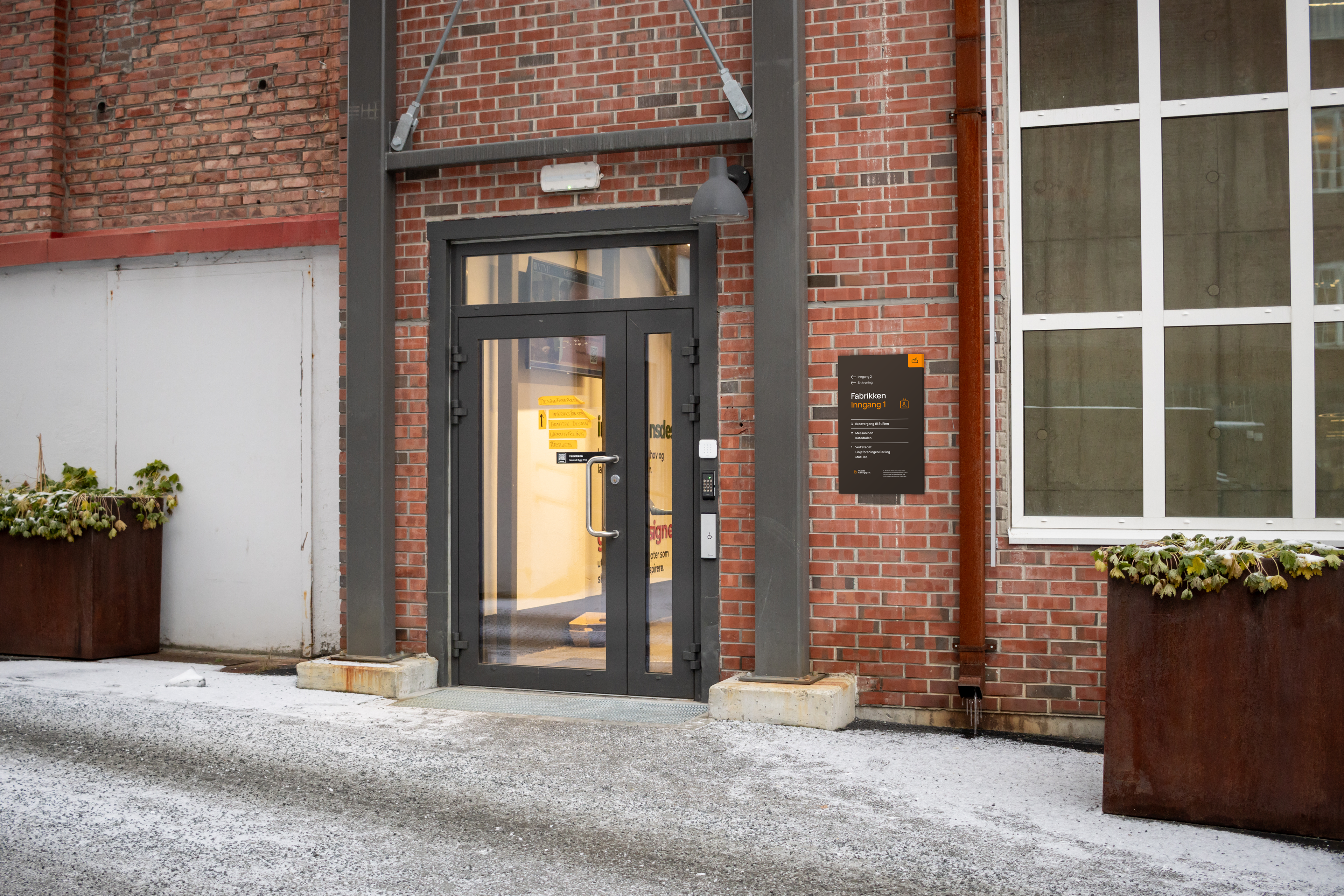
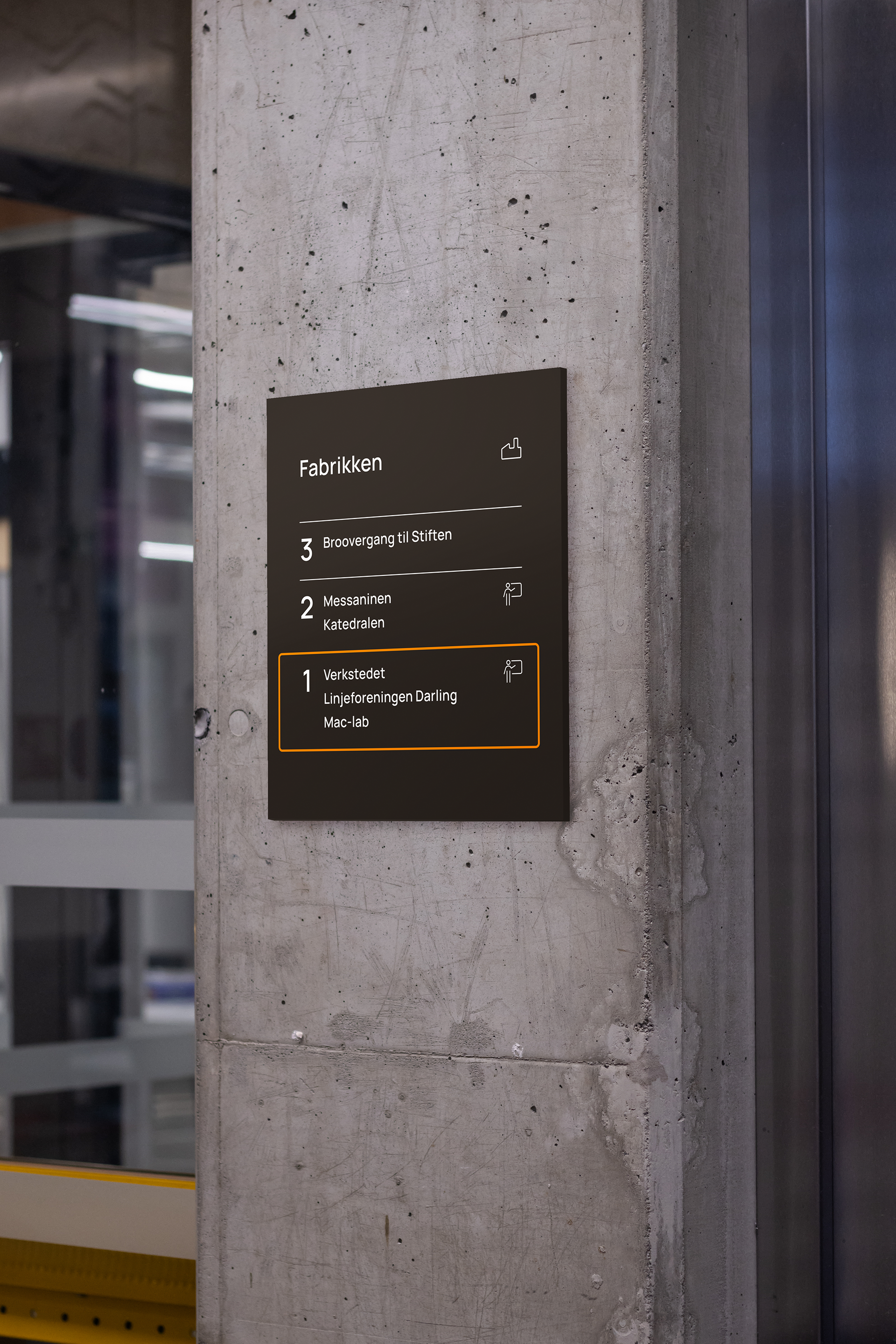
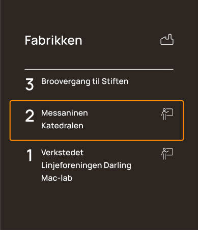
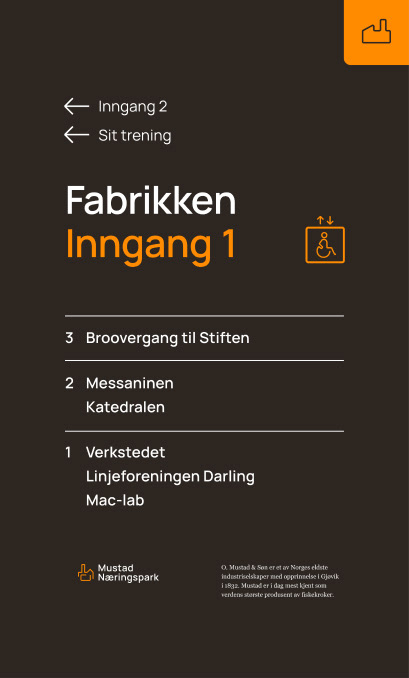
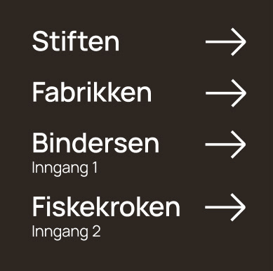
We decided to rename all the buildings in the area to make the wayfinding systems more consistent and memorable. We figured it was easier to remember the name "Fabrikken" than it would be to remember the building code "A", which is more anonymous. Giving the buildings names makes the area feel more welcoming, and the names all have historical relevance. The majority of the names are based on products manufactured at Mustad in the past.
The building names play into the theme of the wayfinding system and give the buildings a stronger identity. By doing this, we can also ensure that the history and identity of Mustad Næringspark is preserved and stays relevant for future generations.
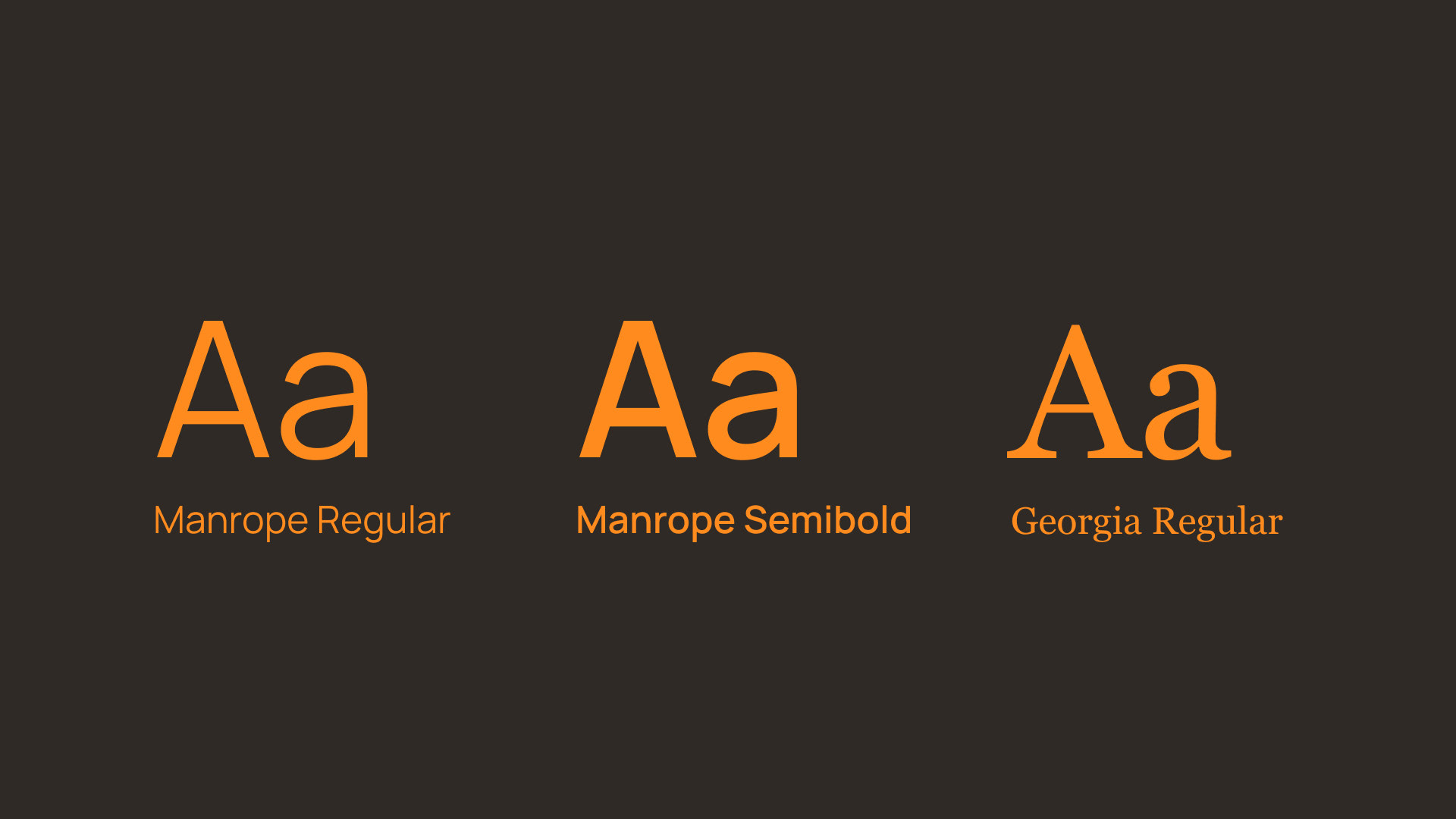
COLOR CHOICE AND TYPOGRAPHY
SIGNS AND MARKERS

DIGITAL SOLUTION
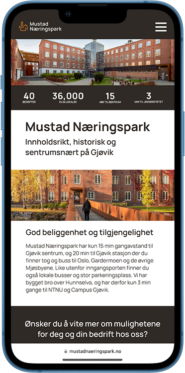
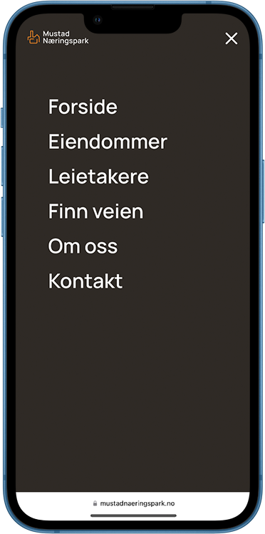
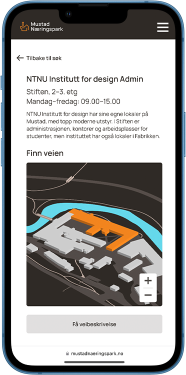
We decided to create a digital wayfinding system in addition to the physical to make planning easier for new visitors. Having a functional digital wayfinding system makes the area more accessible for people with different needs and preferences and allows for a smoother navigation through the area.
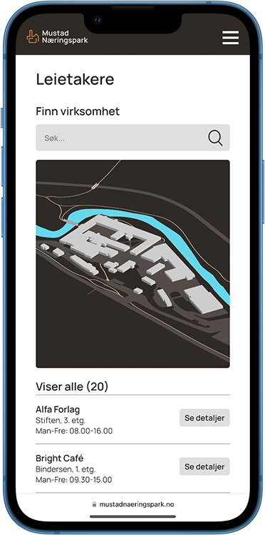
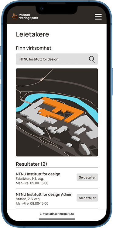
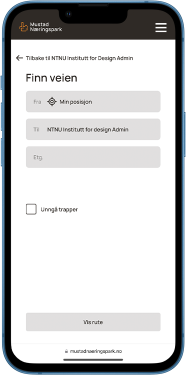
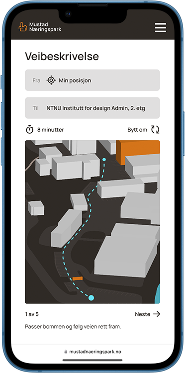
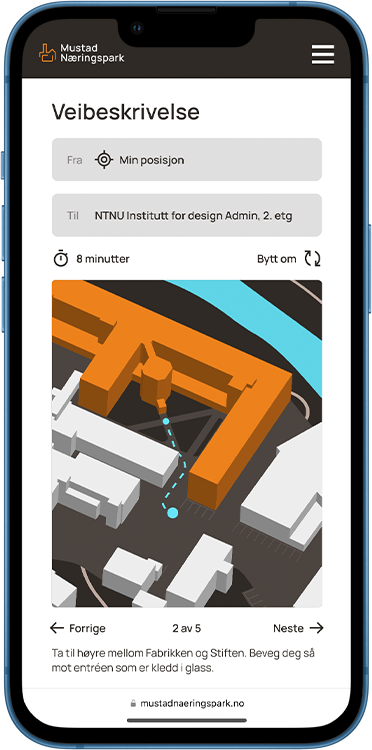
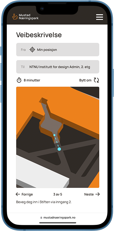
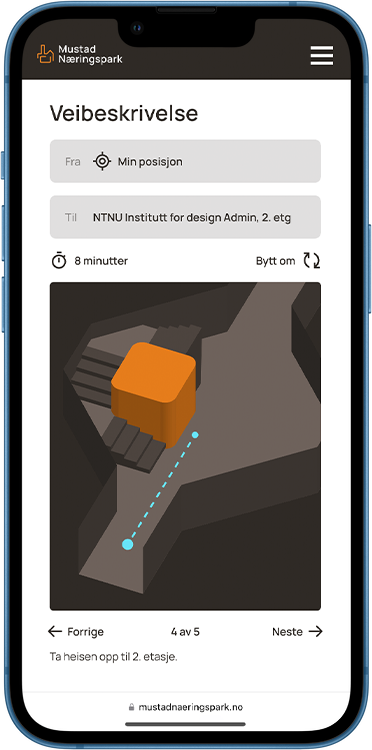
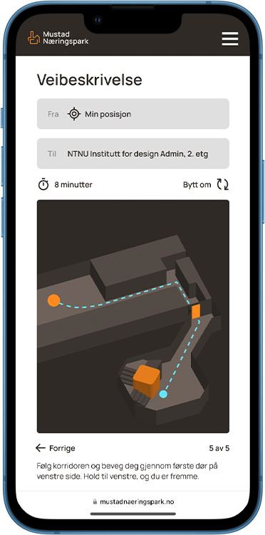
Our digital solution includes a list of businesses currently residing at Mustad, as well as their location, contact information and operating hours. They are also marked on a map of the area. In addition to this, the digital wayfinding system includes a navigation feature which allows the user to input their starting point and final destination, and follow a step-by-step guide which shows the user where to go to get to their destination.
MOCKUPS
